Past Meetings (2024)
July 2024
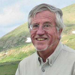
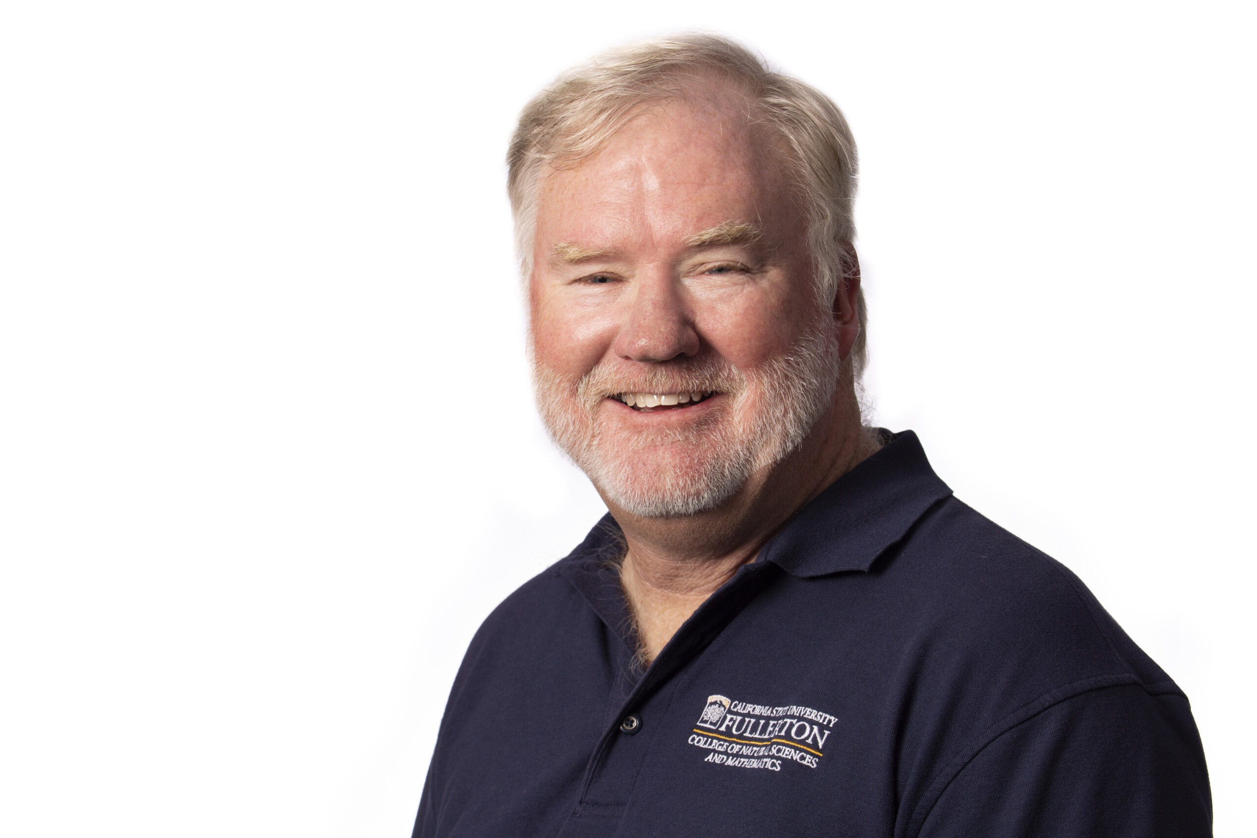
Speaker: Dr. Fred Phillips
Position: Emeritus Professor of Hydrology, New Mexico Institute of Mining and Technology
Topic: Glacial Chronology of the Sierra Nevada
When: Monday, July 1, 2024
Speaker Bio:
Fred Phillips is Professor Emeritus of Hydrology in the Department of Earth and Environmental Science at New Mexico Institute of Mining and Technology in Socorro, New Mexico. He received his undergraduate degree in Earth Science from the University of California at Santa Cruz and M.S. and Ph.D. in Hydrology from the University of Arizona, the last in 1981. He played a significant role in the development of surface exposure dating using cosmogenic nuclides. He has published numerous articles on the Quaternary geology of the Sierra Nevada and adjoining Great Basin. He has received the F.W. Clarke Medal from the Geochemical Society, the Kirk Bryan Award from the QG&G Division of the Geological Society of America, and the O.E. Meinzer Award from the Hydrogeology Division of the GSA.
Abstract:
The Sierra Nevada has played an important role in the history of paleoglaciology in the United States, and indeed globally. The role of glaciation in shaping the range was discussed by J.D. Whitney, John Muir, and Joseph LeConte in the late 1860’s and the 1870’s. Even at this early time, the evidence was abundant that the Sierra Nevada had been extensively glaciated in the not-too-distant geological past.
When Elliot Blackwelder in 1931 provided the first comprehensive description of the glacial history of the Sierra Nevada he recognized four glacial stages. This was not because of widespread evidence for four advances, rather, it was because four stages were required by the prevailing paleoclimatic theory of his day. In fact, while there is abundant evidence of the two most recent advances, that for Blackwelder’s two older stages is exceedingly fragmentary. Blackwelder named the penultimate and the most recent glacial stages the ‘Tahoe’ and the ‘Tioga’, respectively. Today, chronology provided mainly by cosmogenic nuclide accumulation dating, but supplemented by other methods, has demonstrated that the Tahoe is contemporaneous with the global glacial maximum of Marine Isotope Stage (MIS) 6 (~140 ka) and the Tioga with the maximum of MIS 2 (~20 ka). Given that the severity of preceding glacial stages in the marine isotope record is very similar to these two stages, it seems highly likely that the Sierra Nevada over the past million years has undergone multiple glaciations of similar magnitude to the Tahoe and Tioga. This is at least partially confirmed by geochemical evidence from a core in Owens Lake sediments that extends back to ~800 ka. It shows multiple cycles of wet conditions very similar to the Tahoe and Tioga and dry conditions similar to the Holocene. These cycles follow the same chronology as the Marine Isotope Stages.
The history of the deglaciation of the Sierra Nevada at the end of MIS 2 can be reconstructed in considerable detail, unlike previous advances and retreats for which the evidence has been destroyed by subsequent glacial erosion. The evidence indicates that the glaciers reached a position close to that of the terminal moraine by 26 ka, well before the global Last Glacial Maximum at about 20 ka. The terminal position was occupied from about 21 to 19 ka. Between 19 and 16.7 ka the glaciers retreated far back in the range. Between 16.7 and 16.2 ka they readvanced, eventually reaching about one-third of the glacial maximum extent. At 16.2 ka they retreated very rapidly, deglaciating the Sierra Nevada, except perhaps for a few very small cirque glaciers. There is no indication of subsequent glacial expansion until the diminutive Recess Peak advance between 14.0 and 12.5 ka. Whether this coincided with the quasi-global Younger Dryas event (12.9-11.6 ka) is uncertain.
During the early Holocene, even the tiny cirque glaciers apparently disappeared. These re-formed at about 3 ka and advanced until the termination of the Little Ice Age at the end of the Nineteenth Century. Today they are rapidly disappearing as Global Warming renders the Sierra Nevada unsuitable for glaciers.
June 2024
Annual Joint Meeting with SDAG
When: Monday, June 17, 2024
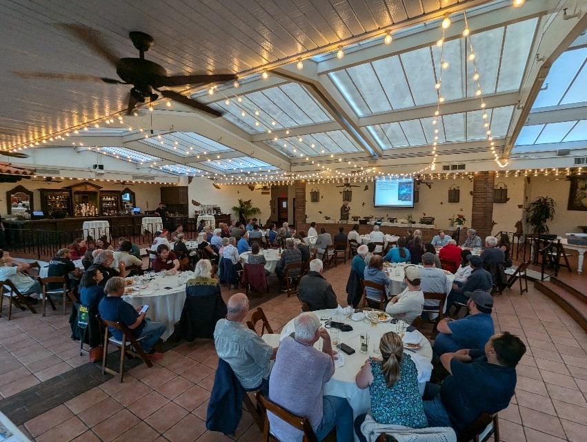
WHAT AN EXCITING MEETING ON MONDAY!!
For those of you who missed the joint SCGS/SDAG meeting on June 17 at El Adobe, before the meeting, we found out that our scheduled speaker, Dr. Sue Hough, was somewhere in the 7th circle of LAX and would not arrive in time for the meeting. I had an inkling of this possibility and had prepared an emergency presentation.
So…we had a presentation. Crisis was avoided. We innocently asked the El Adobe people, “Where is the projector?” To our surprise, they said, “We used to have one, but it was damaged in the rain and we never replaced it.” That little bit of information would have been good to know earlier…2nd exciting moment of the evening. Fortunately, John Teasley, SDAG President, rode to the rescue. Before the meeting, he put a projector into his car…he just had a feeling. Thank you John – you saved the day.
In the end, the 74 people in attendance heard a presentation on the tephrochronology of the Monterey and Modelo Formations. Many of the samples were collected during grading operations here in Orange County. Hopefully, not too many people were disappointed and we will try and get Sue Hough at a future meeting to tell us about the Northridge earthquake.
May 2024
Annual SCGS Poster Session
When: Monday, May 6, 2024
Burgess, Jarrod (CSUF – Undergraduate)
“Desktop Application to Manage and Store Detrital Zircon Geochronological Data in a SQL Database”
Camargo-Ramirez, Joana (CSUF)
“Ties in Age and Provenance of the Eastern Hayfork and North Fork Terranes and Their Relationship to the Western Margin of North America”
Cooper, Spencer (CSULB – Graduate)
“Uplift Rates in the Western Transverse Range”
Cugini, Brandon (CSUF – Graduate)
“Using geologic mapping and other tools to investigate emplacement mechanisms in the Jackass Lakes Pluton of the Sierra Nevada, CA”
Dunn, Samantha (CSUF – Graduate)
“Petrologic and geochemical links in the Jackass Lakes volcanic-plutonic complex, Sierra Nevada batholith”
Durning, Sadie (CSUF – Graduate)
“Hot or Cold Storage: Using Thermometry and Chemometry in K-Feldspar Megacryst Mineral Inclusions to Determine Magma Chamber Conditions”
Gath, Eldon (Earth Consultants International – Professional)
“Uplift and Neotectonic Development of the Puente Hills, Los Angeles, Riverside and Orange Counties, Southern California”
Kawasaki, Jinka (CSUF – Graduate)
“Are Man-made Glass Beads better than Silica Sand as Filter Packs in Water Wells?”
Knott, Jeff (CSUF – Professor)
“Tephrochronology of the Monterey and Modelo Formations, California”
Leeper, Robert (Mt. San Antonio College – Professor)
“Mt. San Antonio College Geotechnician Certificate Program”
McMichael, Ryan (CSUF – Undergraduate)
“Unveiling the Secrets of Marine Terrace Rings: A Window into Paleoenvironmental Change and Ecological Shifts”
Munoz, Jonathan (CSUF – Undergraduate)
“Uncovering Hidden Influence: Unconventional Non-Demographic Variables Shape Success and Close Educational Gaps in Introductory Geology”
Onderdonk, Nate (CSULB – Professor)
“Paleomagnetic directions and Argon dating of Miocene rocks show unusually rapid vertical-axis rotation on Santa Catalina Island, offshore southern California“
Ortega, Sonny (CSUF – Undergraduate)
“Assessing the role of wood fragments in the formation of calcite concretions of the Late Cretaceous Holz Shale, Santa Ana Mountains“
Ruiz, Roberto (CSUF – Undergraduate)
“Rancho Mission Viejo Riding Park Recharge System“
Scandore, Alex (CSULB – Undergraduate)
“Alteration and hydrothermal fluid provenance in the Lima Segment of the Peruvian Coastal Batholith”
Walters, Polito (CSULB)
“Hydrothermal Alteration Related to the Brittle-Ductile Transition at the Sierra Crest Shear Zone, Eastern Sierra Nevada, California”
Wilkins, Shaun (Langan – Professional)
“500-foot Slip or Slide”
Woodard, Brennen (CSUF – Undergraduate)
“The Requirements for Constructing a Favorable Recharge Well in San Juan Capistrano, California”
April 2024

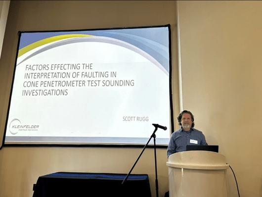
Speaker: Scott Rugg
Position: Senior Engineering Geologist, Kleinfelder
Topic: Factors Affecting the Interpretation of Faulting in Cone Penetrometer Test Sounding Investigations
When: Monday, April 1, 2024
Speaker Bio:
Mr. Rugg has 38 years of experience in the fields of engineering geology and geotechnical engineering, having worked on thousands of sites throughout California and the Southwest. He has focused his vocation on fault and seismic hazard assessment, having worked extensively on all types of projects including high-rise buildings, hospitals, water and wastewater treatment plants, airports, dams, transportation, education facilities, and residential sites. Early in his career he evaluated hundreds of sites damaged during the 1986 Palm Springs, 1987 Whittier Narrows, 1989 Loma Prieta, and 1994 Northridge earthquakes. A sampling of fault hazard projects he has led are the Master-plan Investigation of San Diego International Airport, San Diego, CA, – Mid-Coast Trolley Extension, San Diego, CA, – Airfield Expansion, Naval Weapons Station, China Lake, CA, – Biosolids and Clarifiers Replacement, Orange County Sanitation District, Huntington Beach, CA – Exxon Mobil Carbon Capture Facility, Baytown, Tx – Camp Blaz Satellite Facility, US Territory Guam, and the Automated People Mover, Inglewood, CA. . He has proficiency in all methods of fault investigation with extensive experience in the use of Cone Penetrometer Test Soundings for fault hazard analysis.
Abstract:
Cone Penetrometer Test (CPT) soundings are an often-used method to characterize subsurface soil behavior properties mostly in soft material conditions. The method has many geotechnical applications, some of which include liquefaction analysis, mapping of alluvial deposits and fill, evaluation of soil density improvement and determination of seismic S- and P-wave velocities. When a series of CPTs is advanced, the subsurface stratigraphy can be profiled. This was recognized early on and soon CPTs were engaged to identify stratigraphic disruptions indicative of faulting. This method is now widely used in the coastal province of Southern California, mostly in upper Quaternary materials. Oftentimes, only several feet or less of vertical differential across unit horizons or thickness variations in strata are used to identify potential faulting. This means it is imperative that depth recording of CPTs are as accurate as possible.
Several factors can cause errors in depth readings, leading to erroneous interpretations of faulting. These factors will be discussed in this presentation as well as a quality control procedure to track actual depths and thus mitigate errors. In addition, several examples will be presented where inaccurate depth readings resulted in misinterpretation of faulting. Finally, both the advantages and limitations of the CPT method will be discussed.
February “March” 2024
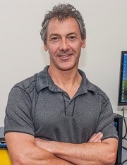
Speaker: Dr. Matthew W. Becker
Position: Professor of Earth Sciences, CSULB; 2024 NGWA Darcy Lecturer
Topic: Fiber Optic Distributed Sensing as a Window on Subsurface Flow
When: Tuesday, February 27, 2024
Speaker Bio:
Matt Becker is the Conrey Chair in Hydrogeology and Professor of Earth Sciences at California State University Long Beach, USA. He holds degrees in Geology and Civil Engineering and has worked with Los Alamos National Labs, the U.S Geological Survey, NASA Goddard Space Flight Center, the University at Buffalo, and has been awarded Fulbright scholarships for Italy and Australia. Matt’s primary focus of research is fluid flow in highly heterogeneous subsurface environments.
Abstract:
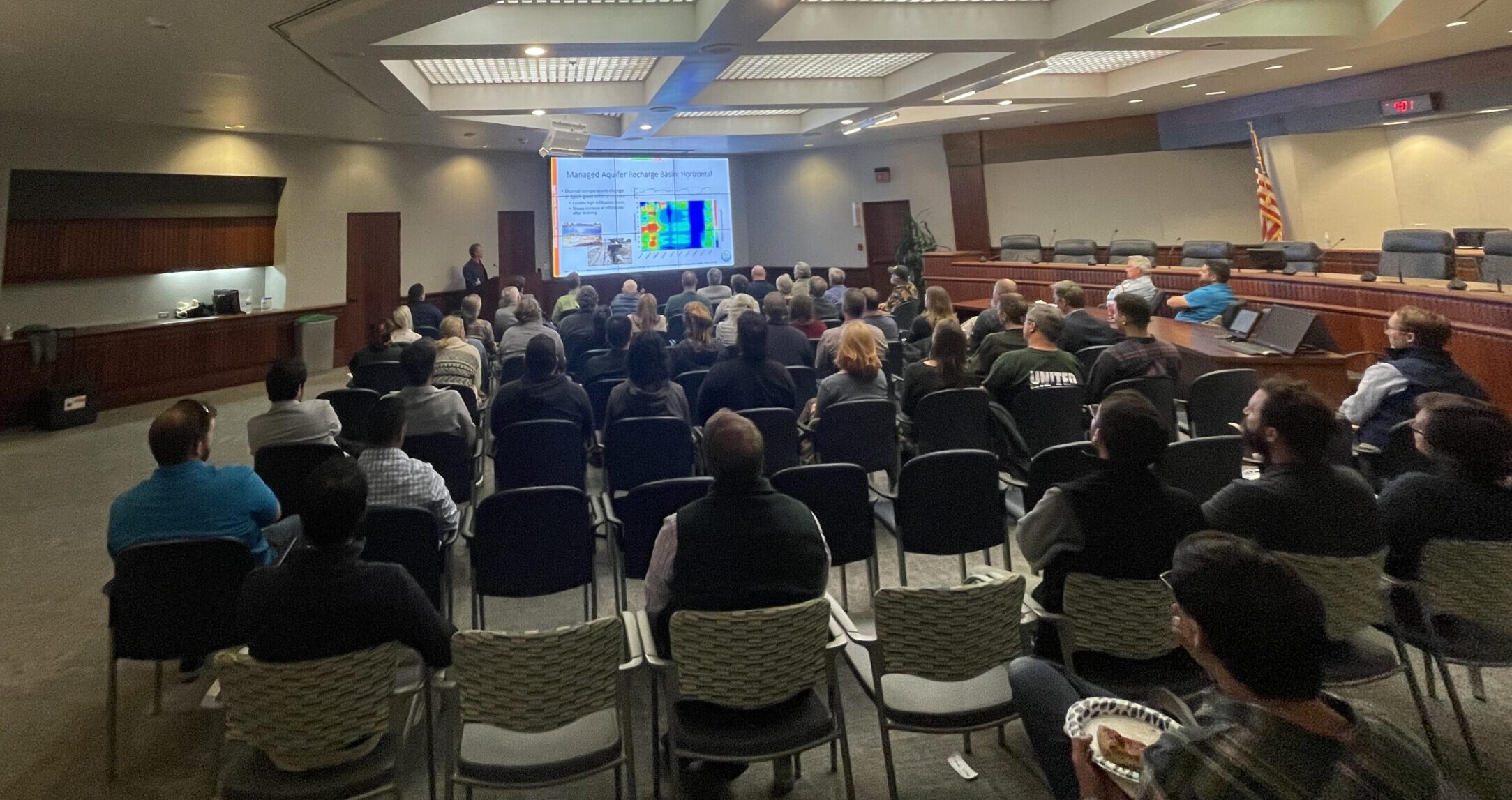
The advancement of fiber optic distributed sensing over the past two decades has enabled the measurement of subsurface hydraulics and geomechanics at unprecedented temporal and spatial detail. Fiber optic distributed sensing systems operate by firing laser light down a fiber optic cable and using backscattered photons to measure temperature, vibration, or strain. Kilometers of measurements can be made at scales as small as a centimeter and at sampling intervals of less than a millisecond.
We will look at how this technology has improved our understanding of subsurface flow related to diverse applications such as stream discharge, managed aquifer recharge, remediation of contaminated sites, aquifer testing, fracture hydromechanics, and energy resources. As these instruments become more reliable, accurate, and economical, opportunities for revolutionary observations of groundwater systems will continue to expand in the coming decades.
February 2024
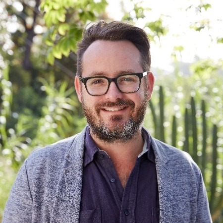
Speaker: W. Paul Burgess
Position: Engineering Geologist, California Geological Survey, Regional Geologic and Landslide Mapping Program
Topic: Implementing the California Geological Survey’s Reported Landslides Database during a sequence of sixteen atmospheric river events in California, December 2022 through March 2023
When: Monday, February 5, 2024
Speaker Bio:
W. Paul Burgess is an Engineering Geologist in the California Geological Survey’s Regional Geologic and Landslide Mapping Program, where he arrived in October 2018. Prior to joining the CGS, Burgess worked in the geotechnical engineering world in Los Angeles. He earned a MS in Geology from the University of California, Los Angeles focused on studying active faulting and tectonic geomorphology in the northeastern Indian Himalayan foothills. Prior to his time at UCLA, he earned his BS in Geology at the University of Houston in Texas, where he first became fascinated in geology after participating in geologic expeditions traversing the far northwestern Nepal Himalaya. Since coming aboard the CGS, Burgess has been especially grateful to steadily grow his knowledge of mapping landslide geomorphology and processes. In his spare time he enjoys riding his bicycle.

Abstract:
From late December 2022 until late March 2023, sixteen atmospheric river (AR) events impacted California, resulting in year-to-date precipitation accumulations varying from more than 200 to 350% above average across a wide swath of the state. Historic flooding and multi-modal landslide activity occurred statewide, damaging transportation infrastructure, homes, property, and threatening life-safety and economic welfare. A state of emergency was declared by the Governor of California as well as by the President of the United States. The California Governor’s Office of Emergency Services (CalOES) mission tasked the California Geological Survey (CGS) to provide situational awareness of statewide landslide hazards, which CGS accomplished in partnership with the United States Geological Survey (USGS) as well as numerous state, county, and local agencies.
CGS leveraged its Reported Landslides Database (RLD) mapping tools for desktop and field surveying to rapidly identify areas of observed landslide impacts, which included activation of a Landslides Triage Team (LTT). For several months the LTT gathered data from multiple sources including, but not limited to, photos and timing information from crowd-sourced reporting (e.g., Twitter, Facebook), local news media sources, state agency reporting, California Highway Patrol data, and review of firsthand reports.
The LTT identified more than 1000 AR-induced landslide events, necessitating the development of a GIS dashboard for efficient data organization. The GIS dashboard informed leadership of hardest hit areas and provided real-time support for community recovery accomplished by deployment of CalOES-requested CGS field teams at fourteen locations statewide. These mission tasks involved multi-partner agency collaboration and implementation of innovative field mapping, hazard surveying, and data collection methods. Here we highlight CGS mission task methods and results and discuss the successful public awareness campaign CGS developed to communicate the evolving nature of landslide hazards statewide. This public communication included an emergency response website, consistent Twitter communications to provide daily updates of a statewide landslide event density map, and a statewide deep-seated landslide “barometer” map.
January 2024
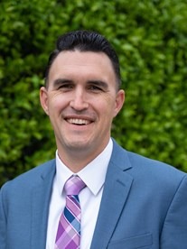
Speaker: Ben Smith
Position: Director of Recharge and Wetland Operations, Orange County Water District
Topic: OCWD’s Capture and Recharge of Stormwater in an Urban Environment
When: Monday, January 8, 2024
Speaker Bio:
In addition to bachelor and master’s degrees in civil engineering, Ben also earned a master’s degree in public administration from CSU Long Beach. He teaches civil engineering courses part-time at CSULB. He is a California and Arizona certified Professional Civil Engineer, California Water Treatment and Distribution Operator, and a Qualified SWPPP Designer. At Orange County Water District, Ben has managed the design, construction, and inspection of more than $100 million in capital improvement and repair projects. His projects have included PFAS treatment facilities, injection and monitoring wells, spreading basins, pump stations, pipelines, emergency repairs, recycled water treatment and distribution, grading and site improvements, and culvert transfer tubes. He regularly conducts hydraulic and financial analyses, interagency agreements, regulatory permit compliance, and public presentations. He is currently the Director of Recharge and Wetland Operations with responsibilities including the management of staff and facilities used for surface recharge, constructed wetland water treatment, and optimizing the percolation and storage of storm, recycled, and untreated import waters.
Abstract:
Southern California is not new to unusual weather patterns and this past year did not disappoint. Between getting an abundance of rainfall in the winter season and a surprising tropical storm in August, how much rain did we receive and capture this past year? Are we ready for what’s ahead? Hear about what the Orange County Water District is doing to maximize stormwater capture and groundwater recharge opportunities which increase drinking water supplies for Orange County.
